Touristik Label - 6
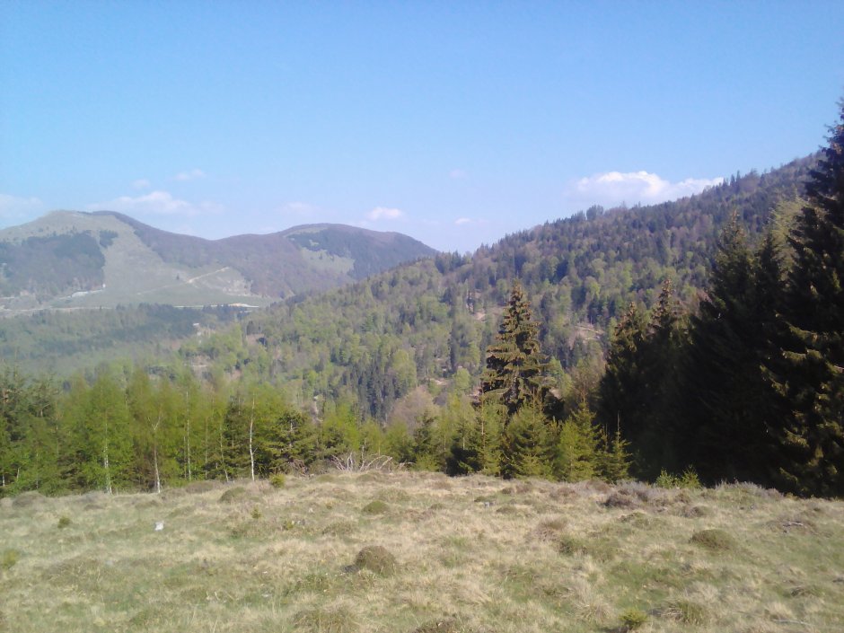
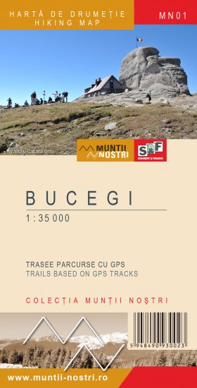
01MN62: Dragoslavele (Joseni) - Muntele Iuda - Muntele Cioara

0

Trail Details

Difficulty
medium/hard
Distance
7,69km
Duration
3:30-4:00h
Ascent
1200m
Descent
11m

Gallery

Tabs

Directions

From the church on DN 73 national road, follow the main road for 3.3 km on Caselor Valley, leave the road to Prislop Saddle to the left and continue for another 830 m to the intersection with Iuda Valley. Climb up on Mount Iuda, first on the forest road and then on the ridge through the forest an...

Please login in order to view more
Stages

Dragoslavele (Joseni) - Valea Caselor - Muntele Iuda - Muntele Cioara

Description
Observations

Trail markers are scarce in the alpine area below Cioara Peak.

Weather

People who contributed


Dragoslavele (Joseni) - Muntele Iuda - Muntele Cioara in Bucegi - Leaota, Argeş is a medium/hard Hiking trail.

Sfaturile Decathlon

0
No votes yet

Comments

Your Comment