Touristik Label - 1219MN10: oraş Gheorgheni - Vf. Ciser - Vf. Şipoş

0

Trail Details [ro]

Dificultate
mediu
Distanţă
7,71km
Durată
3:15-4:00h
Urcare
767m
Coborâre
60m

Galerie

Tabs

Indicaţii de orientare

Start from the intersection of DN12C national road with Alunis Street, towards Ciserului Street, and after 940 m turn left up on the road that climbs on the ridge of Mount Ciser. Walk around the peak (west) and after 400 m from the exit from the forest turn sharply to the left (east) and continue...

Vă rugăm să vă autentificați pentru a vedea mai multe detalii
Etape

oraş Gheorgheni (str. Aluniş) - Vf. Şipoş

Descriere
Observații

Trail markers are slightly visible, scarce or completely missing between km 1 and km 6.3.

Vreme

Persoane care au contribuit si comentat


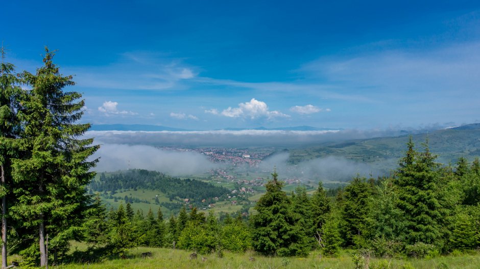
oraş Gheorgheni - Vf. Ciser - Vf. Şipoş în Giurgeu - Hășmaș, Harghita este un traseu de Drumeţie mediu.
0
0 voturi

Comentarii

Comentariul dumneavoastră