Touristik Label - 3
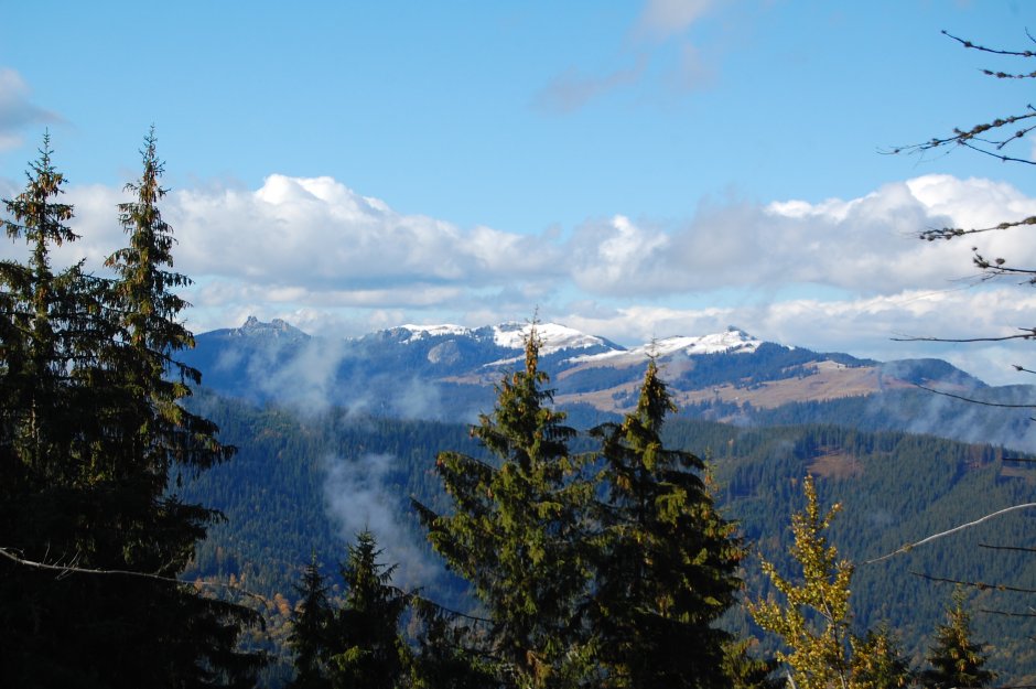
16MN03: Pasul Mestecăniș - vf. Giumalău - Curmătura Prislop - Vf. Tarniţei - spre Munţii Stânișoarei

0

Trail Details

Difficulty
medium
Distance
58,05km
Duration
20:00-25:00h
Ascent
3052m
Descent
2930m

Gallery

Tabs

Directions

From Mestecanis Pass follow the road cut into the mountainside. Walk past some relays, between enclosed pastures and through a short patch of forest, enjoying the beautiful view of the Suhard Mountains. Cross a secondary ridge (where there is a cross) and a 100 m road splits to the left (east) an...

Please login in order to view more
Stages

Pasul Mestecăniș - Piciorul Lat - Mănăstirea Sf. Pantelimon -Schitul Mestecăniș - Poiana Ciungi - vf. Giumalău - Șaua Fundul Colbului - DJ175B Transrarău - Hotelul Rarău - Șaua Ciobanilor -  Muntele Todirescu - Curmătura Prislop (Chiril) - Creasta Iepei - Vf. Văcăria - lângă Vf.Căpăţânii - Vf. Piciorul Bârsanului - Vf. Bâtca Oblâncului - Vf. Tarniţei - lângă Vf. Clefile - lângă Vf. Alunişul - Pasul Puzdra - Schitul Sf. Ștefan - lângă Vf. Grebin - La Morminte - spre Munţii Stânișoarei

Description
Observations

There are some old, scarce and slightly visible blue stripe and red triangle markers. On the descent to the east from Giumalau Peak there is a winter trail marked with orange. The trail can be dangerous in winter or wet weather, especially in rocky areas.

Weather

People who contributed


Pasul Mestecăniș - vf. Giumalău - Curmătura Prislop - Vf. Tarniţei - spre Munţii Stânișoarei in Giumalău - Rarău - Tarnița, Suceava is a medium Hiking trail.
0
No votes yet

Comments

Your Comment