In the western part of Slatioara, at the confluence betweeen Ursului and Ion creeks, there is a signpost indicating the starting point for trails 23 (blue cross) and 24 (red triangle). Trail 23 goes up the asphalt road on Ursului creek 1.8 km. Then, soon, you leave the stream and climb steeply to...
Please login in order to view more 16MN23: Slătioara - traseul 19 CR
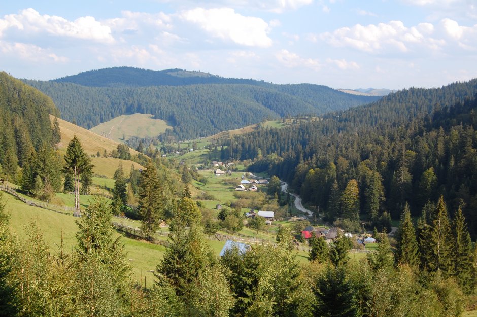


Comments