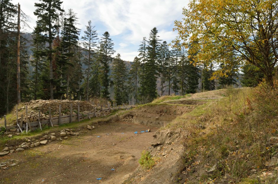
The trail starts near Valea Zanelor Camping, on a gravel road. After about 350 meters, cross Covasna river on a concrete bridge and leave a private cottage on the right. After another 150 meters walk past a household. From this point the trail continues on the road for another 1.7 km, and then it...
Please login in order to view more 29MN27: Covasna (Camping Valea Zânelor) - Cetatea Zânelor
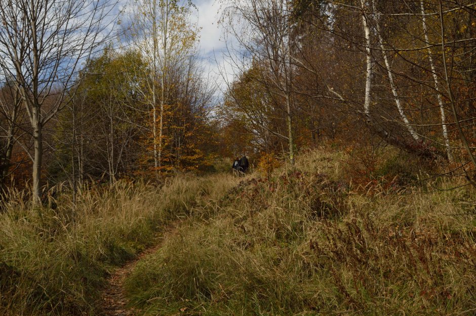


Comments