The trail splits to the north from DN2D national road and follows Streiu brook valley for 4.1 kilometers. It reaches DN2L road (which connects Lepsa and Soveja) and follows it for about 800 meters. It splits to the left to follow Mount Arsura ridge for the next 3.2 kilometers to the intersection...
Lepşa - Pârâul Streiu - DN2L - Cabana forestieră Zboina Neagră - Pichetul Clăbucului - Pasul Stânişoarei (La Trei Hotare) - Valea Oituz - Pasul Oituz
 29MN05: Lepşa - Pichetul Clăbucului - Pasul Oituz
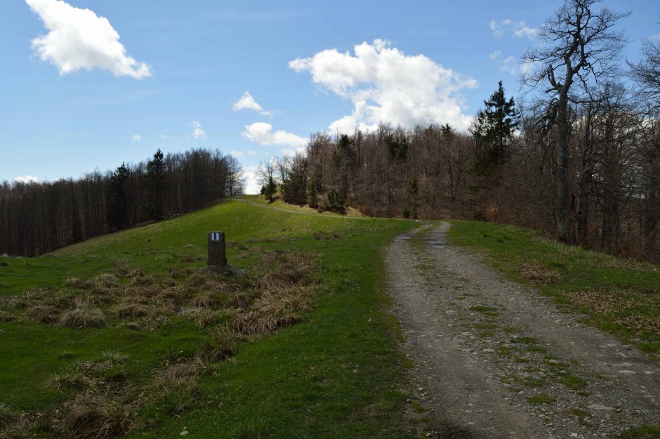


Comments