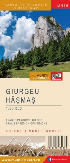
The map of Giurgeu - Hasmas Mountains (MN19) is the 19th map of the new Muntii Nostri collection.
The map was edited using the latest mapping techniques and it was printed on moisture resistant paper. It is easy to read and simple to use due to the mapping styles, specific to Schubert & Franzke company, and as a result of practical information structuring. It is handy and everything is exactly where it should be. The map is useful for both hiking enthusiasts and professionals.
The Lacul Rosu area and the Borsec area was digitized at a more detailed scale: 1 : 35000 and 1 : 20000.
All the trails have been recorded in the field using a GPS. They are described in detail in both Romanian and English, some trails having representative images attached to them. Each trail has a technical box containing: trail marking checked in the field, trail route, profile with major landmarks, data on difficulty, length, total ascent, total descent, round-trip time, practicability depending on the season and so on. The map also contains the UTM grid, a projected coordinate metric system useful in the quick measurement of distances on the map. Shading and contour lines highlight the landscape and facilitate orientation.
 19MN45: Pasul Pângăraţi - Cabana Piatra Singuratică - Şaua Tarcău
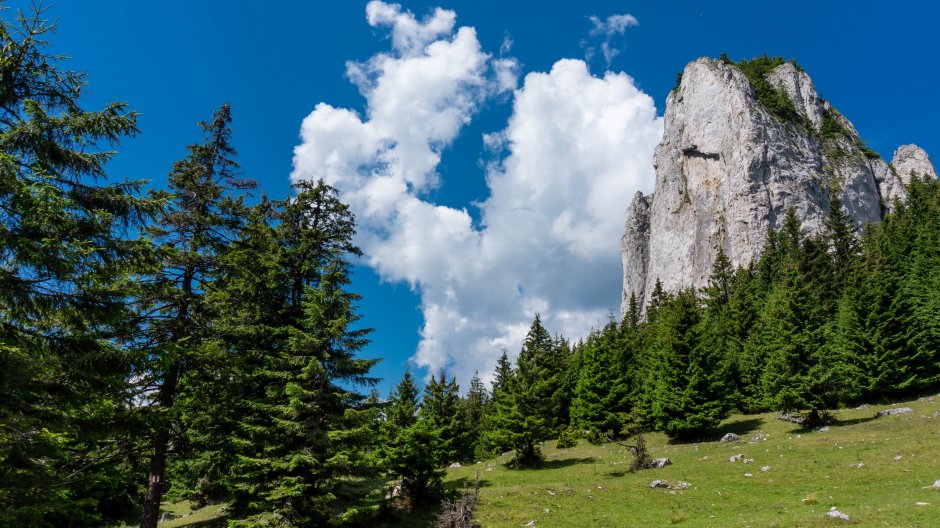


Comments
De poveste tot traseul, iar pe porțiunea dintre Șaua Tarcău (Pasul Dracului) și Refugiul Poiana Albă, pot confirma că traseul a fost curățat, cu câteva mici excepții prin pădurea din jurul Pășunii Mieilor. Izvoarelul din nordul Cabanei Singuratice (cel cu care se alimentează și cabanierul de acolo și are o instalație făcută) are apă (cel de pe bandă roșie), însă toate celelalte din jurul ei sunt secate. De asemenea, izvorul de la Refugiul Poiana Albă are apă.
MARE GRIJĂ dacă alegeți să campați pe lângă Vf. Tarcău (Stâncilor), căci peste culme este o stână, al cărei cioban abia dacă scuipă vreun cuvânt în română și are undeva la 15 câini (exceptând puii) extrem, EXTREM de agresivi care nu dau în spate de la nimic. Din fericire, animalul nu avea și kangali, căci altfel nu scăpam cu viață.