Touristik Label - 3
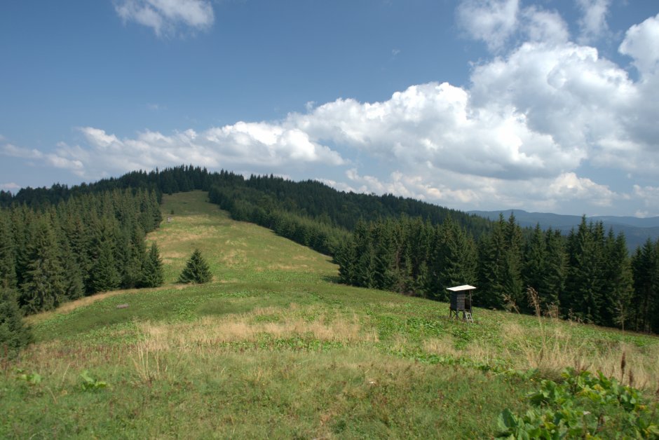
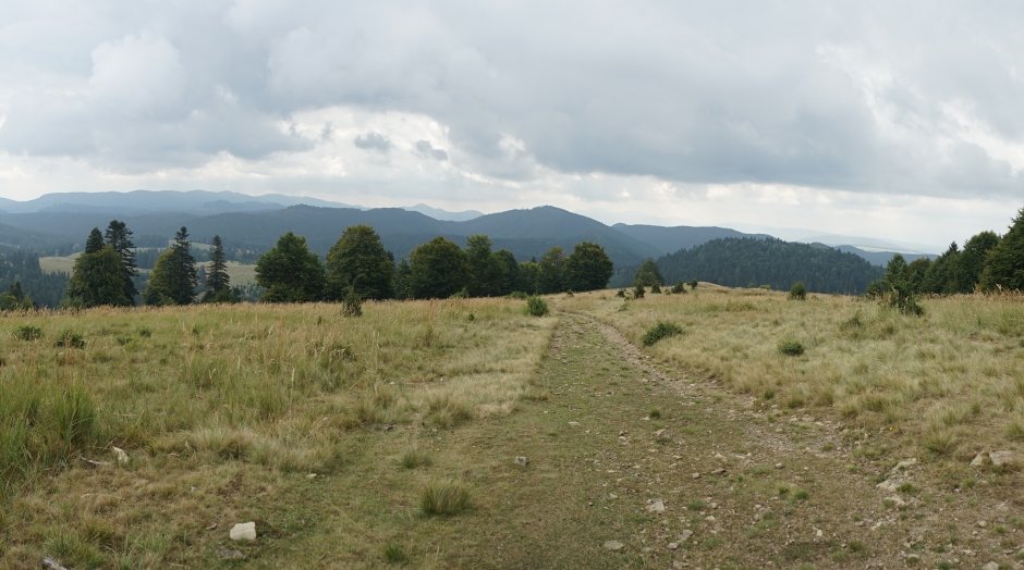
26MN01: Pasul Dălghiu (DJ 103A) – Vârful Brusturos – pasul dintre Covasna şi Comandău (DC 14)

0

Trail Details

Difficulty
hard
Distance
68,30km
Duration
25:00-27:00h
Ascent
3033m
Descent
2962m

Tabs

Directions

It is recommended not to do the trail without a GPS device or Muntii Nostri application!The trail starts from Dalghiu Pass (on the DJ103A county road), crosses the forest and meadow, and then veers right past the high voltage power lines. You descend through the forest to then turn left and climb...

Please login in order to view more
Stages

Pasul Dălghiu (DJ 103A) – Culmea Dobromir – Muntele Cocoanelor – Pasul Predeluş (DN10) (Pasul Întorsura Buzăului) – Pasul Dobârlău (Floroaia) (DC 15) – Poiana Cucului – Vârful Şiridiu – Vârful Mogoş – Pasul Hămaş – Vârful Lumânării – Vârful Chiuruşul Mare – Pasul Barcani (DN 13E) – Vârful Brusturos – Caşcut – Vârful Poienii – pasul dintre Păpăuţi şi Comandău – Chiuzul Păpăuţi – şine abandonate – pasul dintre Covasna şi Comandău (DC 14)

Observations

There are no trail markers (only 5-6 markings along the entire trail). In winter, there is unbeaten snow on long sections; therefore, take into consideration the substantially increased duration of the hike, as well as the risk of county and national roads intersecting with the trail in passes being blocked.

Weather

People who contributed


Pasul Dălghiu (DJ 103A) – Vârful Brusturos – pasul dintre Covasna şi Comandău (DC 14) in Braşov, Covasna, Buzăului is a hard Hiking trail.
0
No votes yet

Comments

Your Comment