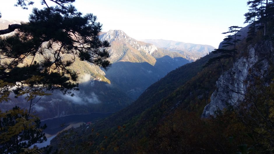
 14MN13: Intersecţie traseu TA (sub vârful Cociu) - Gornenţ
Trail Details
Difficulty
medium
Distance
7,30km
Duration
3:00-3:15h
Ascent
327m
Descent
490m
Peak
1063m
Gallery
Tabs
Weather
Best Seasons
January
February
March
April
May
June
July
August
September
October
November
December
People who contributed

Intersecţie traseu TA (sub vârful Cociu) - Gornenţ in Cernei - Mehedinţi, Mehedinţi, Caraş-Severin is a medium Hiking trail.


Comments