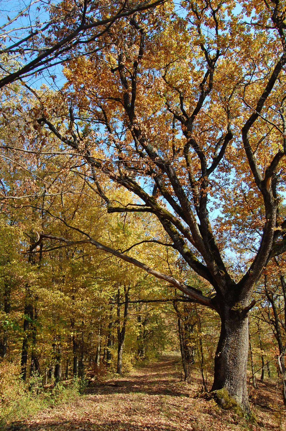
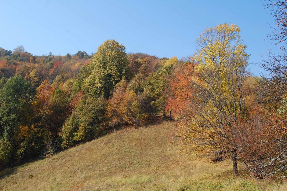
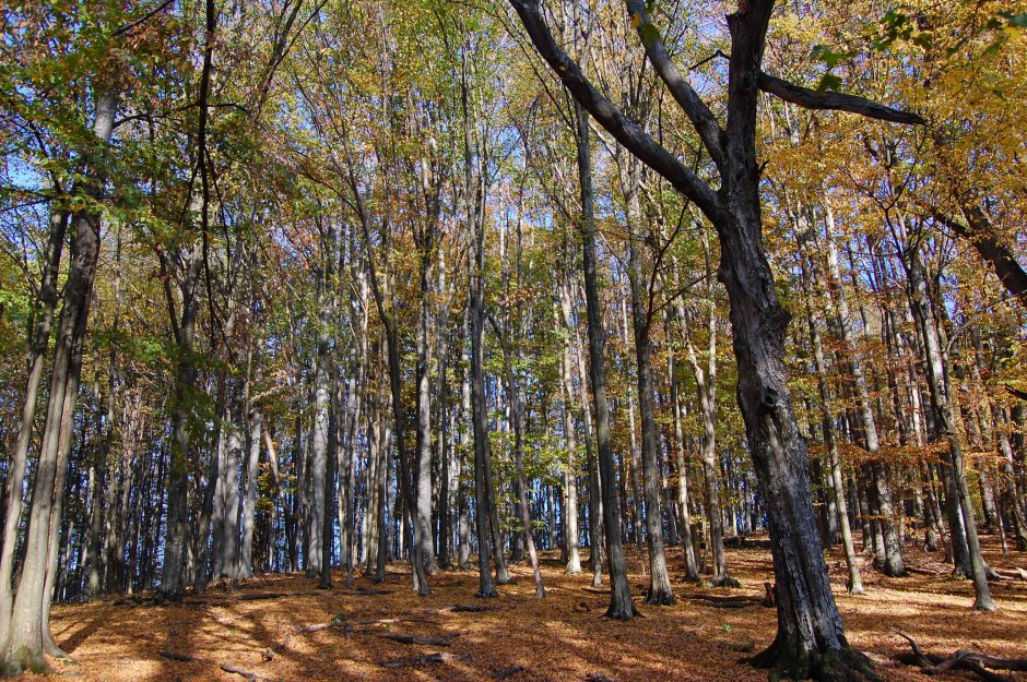
The trail starts from DJ707 county road at the place known as km) of the main ridge, a name given by the people of Arad. Indeed, from the point of view of Arad County, the main ridge of the Savarsin Mountains starts from here to the west and continues into the Zarand Mountains. To the east of thi...
Please login in order to view more 30MN16: DJ707 - Vf. Omeag - Vf. Pleșu - Vf. Țapului - DJ708
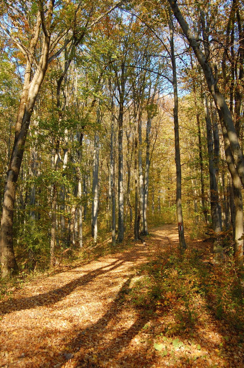


Comments